|
|
GIS software: categories
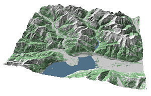
 Digital Elevation Model of Locarno area Digital Elevation Model of Locarno area |
To give you an idea of the wide range of GIS software types there are, and to allow for easier comparison of the different
commercial products, we classified them according to the German GIS-Report(Buhmann et al. 2004). Furthermore, we characterize their possible usage together with some application examples. Descriptions of specific products will be given in more detail in lesson 3, where the same classification will be used. As always these classes are somewhat arbitrary. |
