|
|
A geographic information system is a combination of spatial data, several different hardware components, and software modules.
Only one of these software modules is what we usually call a GIS application, which can be of modular design, too. You would
only buy the modules (often called extensions) you wanted. If you needed special functionality, let's say a special 3D visualization
tool, you could add it easily later. In this unit, we want to introduce the different software modules that make up the whole
GIS together with their general functionality, and in a further step, we will discuss the specific functions a GIS application
should offer. The use of the word GIS in literature or in this module might be confusing. It can either mean the GIS application
only or the whole set of both software and hardware that make up the whole information system (see definitions from lesson 1).
|
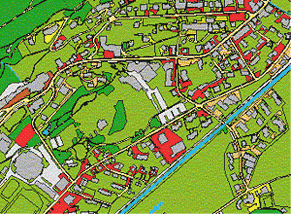
 Example of a map of Davos (www.geoswiss.ch).